Description
Goal:Proof of concept for a digital twin that contextualises real-world data on a virtual twin.
See: Intro to digital twins
Try: Create a prototype for your idea
Share: With the group on Discord or office hours
Reflect: What did you learn? How can you improve?
Digital Twin VR for Drone Monitoring
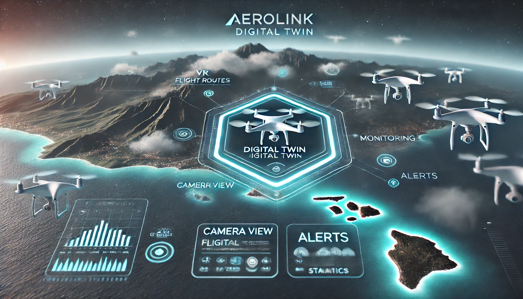
*Generated with AI
Ideation
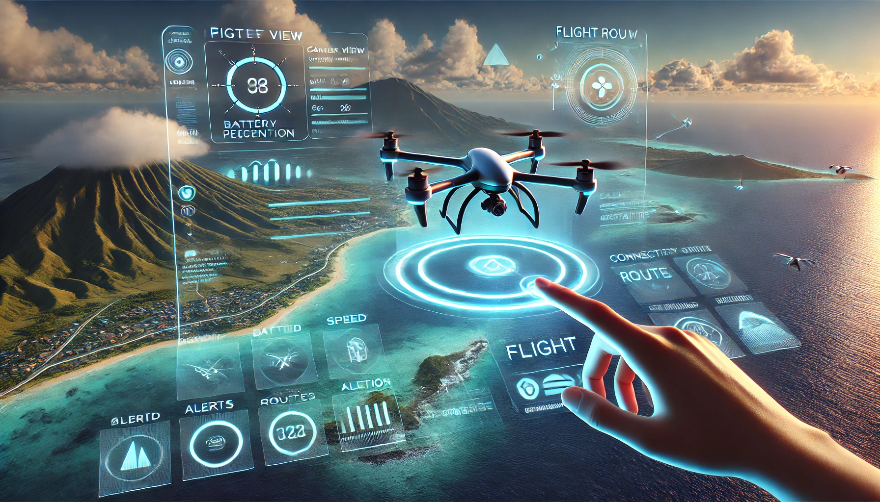
AeroLink is a Digital Twin technology in VR that creates a real-time simulation of drone operations. It provides an interactive 3D model of real-world locations, where users can track, manage and optimize drone missions. In the Hawaii use case, the entire environment—terrain, launch stations and drones—is mirrored as a Digital Twin, enabling advanced applications in search & rescue, logistics and environmental monitoring.
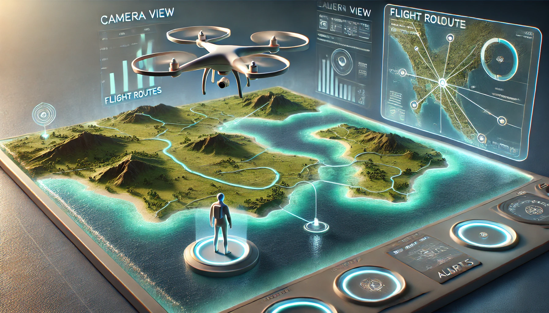
*Generated with AI
The Vision
Imagine a fully interactive, real-time VR simulation of the Hawaiian islands, where drones navigate across landscapes, coastlines and urban areas. This Digital Twin mirrors real-world drone flights, providing operators with an intuitive, immersive way to manage drone fleets, optimize routes and enhance situational awareness.
The Problem
- Limited situational awareness in drone operations.
- Static interfaces that do not provide a real-time spatial overview.
- Lack of interactive mission planning tools in VR.
- Inefficient drone monitoring, requiring multiple screens and complex controls.
The Solution
This Digital Twin VR system creates a real-time simulation of drone operations:
- 3D Island map: A VR environment that syncs with live drone data.
- Buoys & launch stations: Digital Twins of physical drone bases.
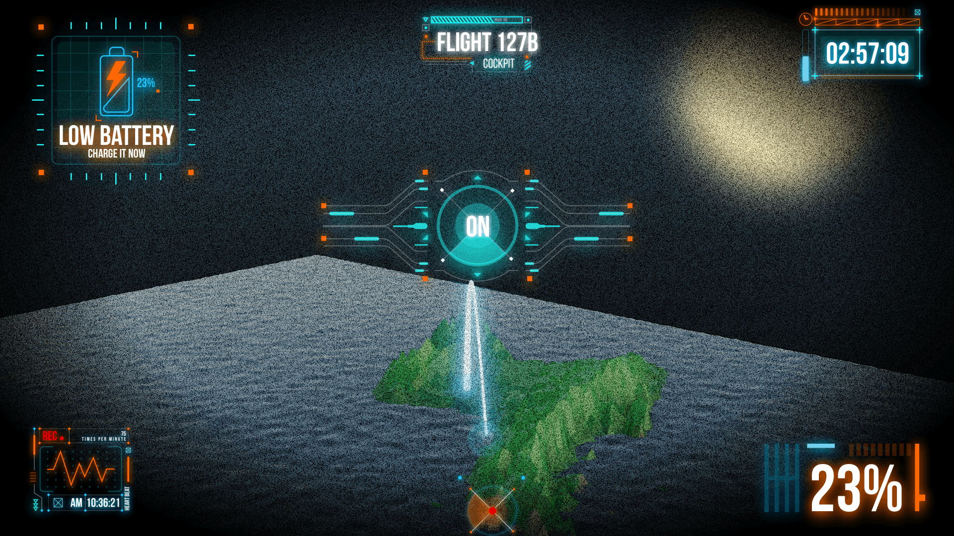
- Flight Telemetry in VR: Live altitude, speed and battery tracking.
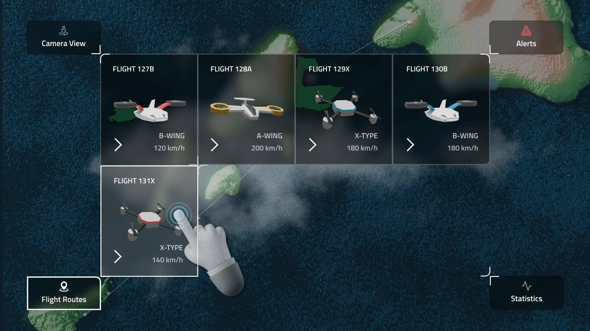
- Mission Planning & Simulation: Interactive adjustments to drone routes.
-
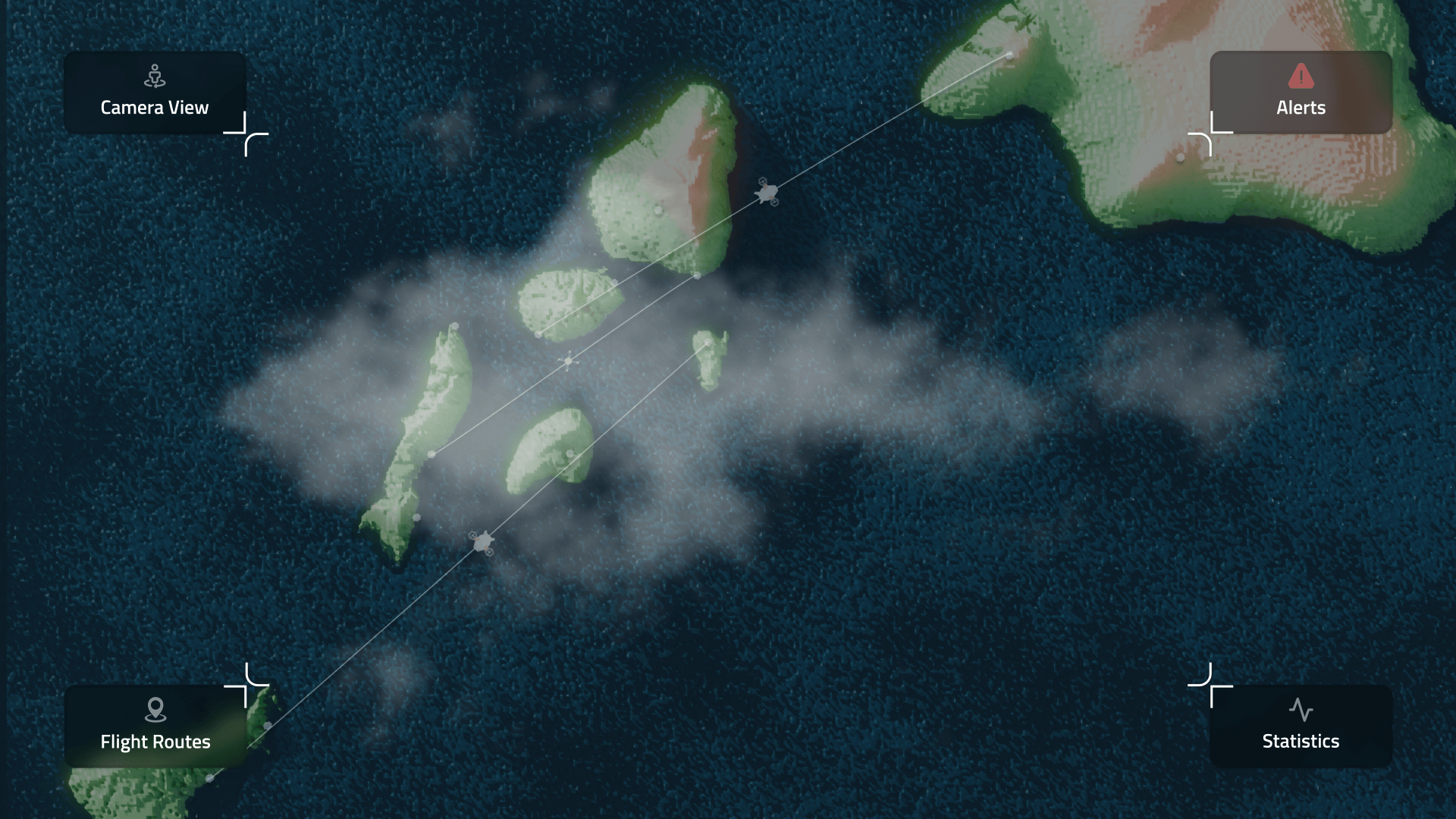
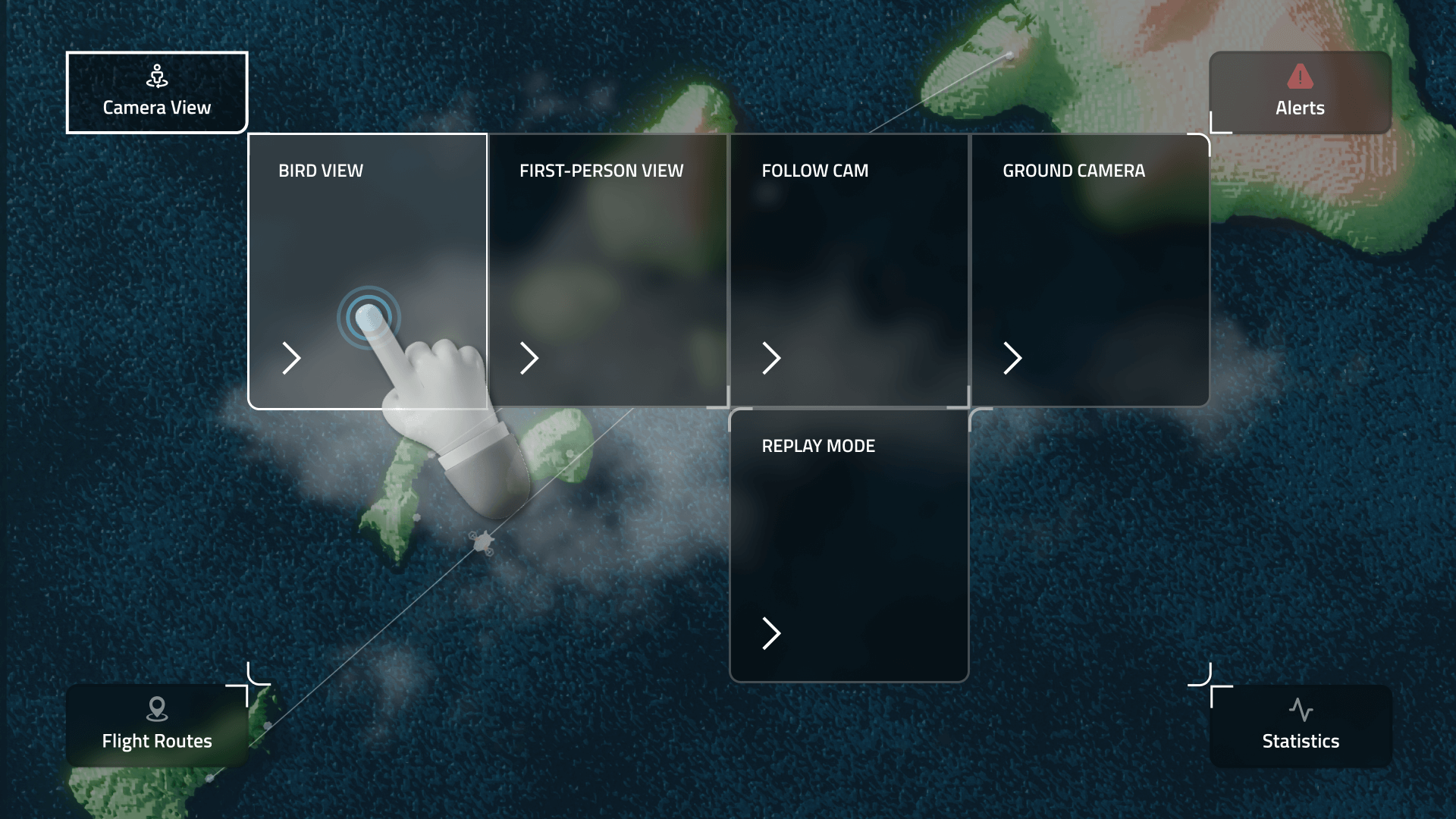
Three-Layer UI: Combining HUD (fixed info), 3D UI (world elements) and holographic UI (mission control panel) for optimal user experience.
-
Flexible camera views, allowing users to switch between top-down strategic views, third-person perspectives and immersive FPV mode for a drone pilot experience.
*Generated with AI
Use Cases in Hawaii
Search & Rescue – Monitor and deploy drones for emergency response over volcanic regions, forests and coastlines.
Drone Logistics & Delivery – Manage autonomous drone fleets delivering goods across islands.
Environmental Monitoring – Track volcanic activity, ocean currents and marine life through drone data.
Defense & Security – Support coast guard and military drone operations in remote areas.
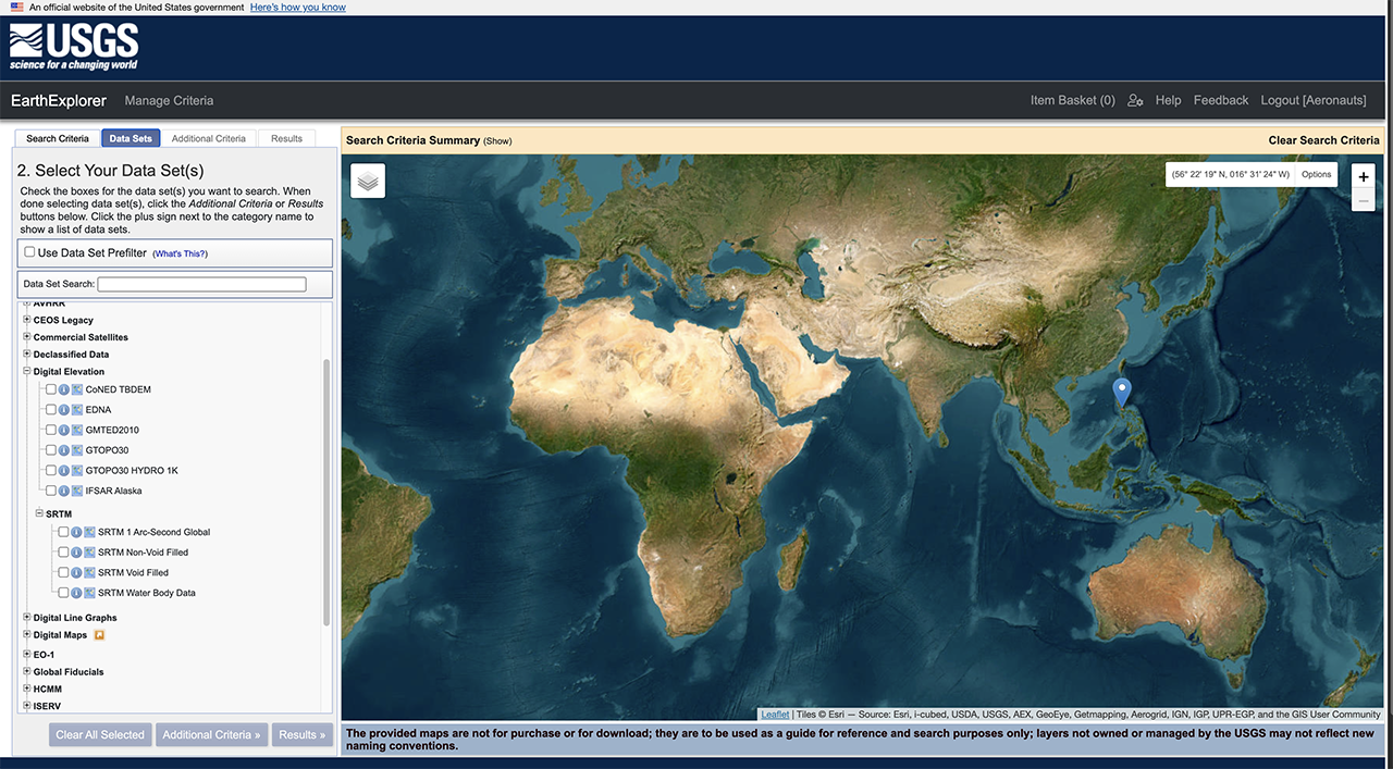
Download the height map (GeoTIFF) from USGS Earth Explorer, import it into Blender and apply it as a displacement map on a subdivided plane to generate terrain. Then, colorize it using satellite imagery or procedural textures for a realistic Digital Twin visualization.
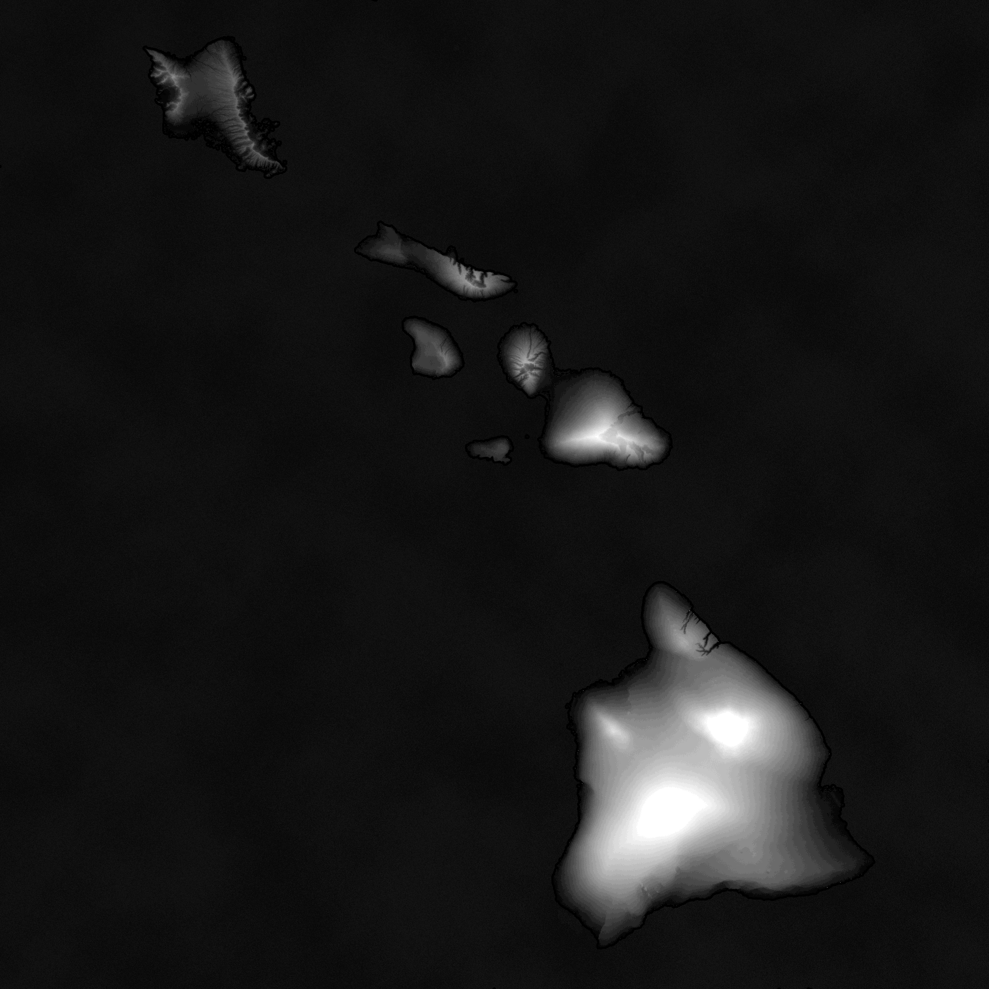
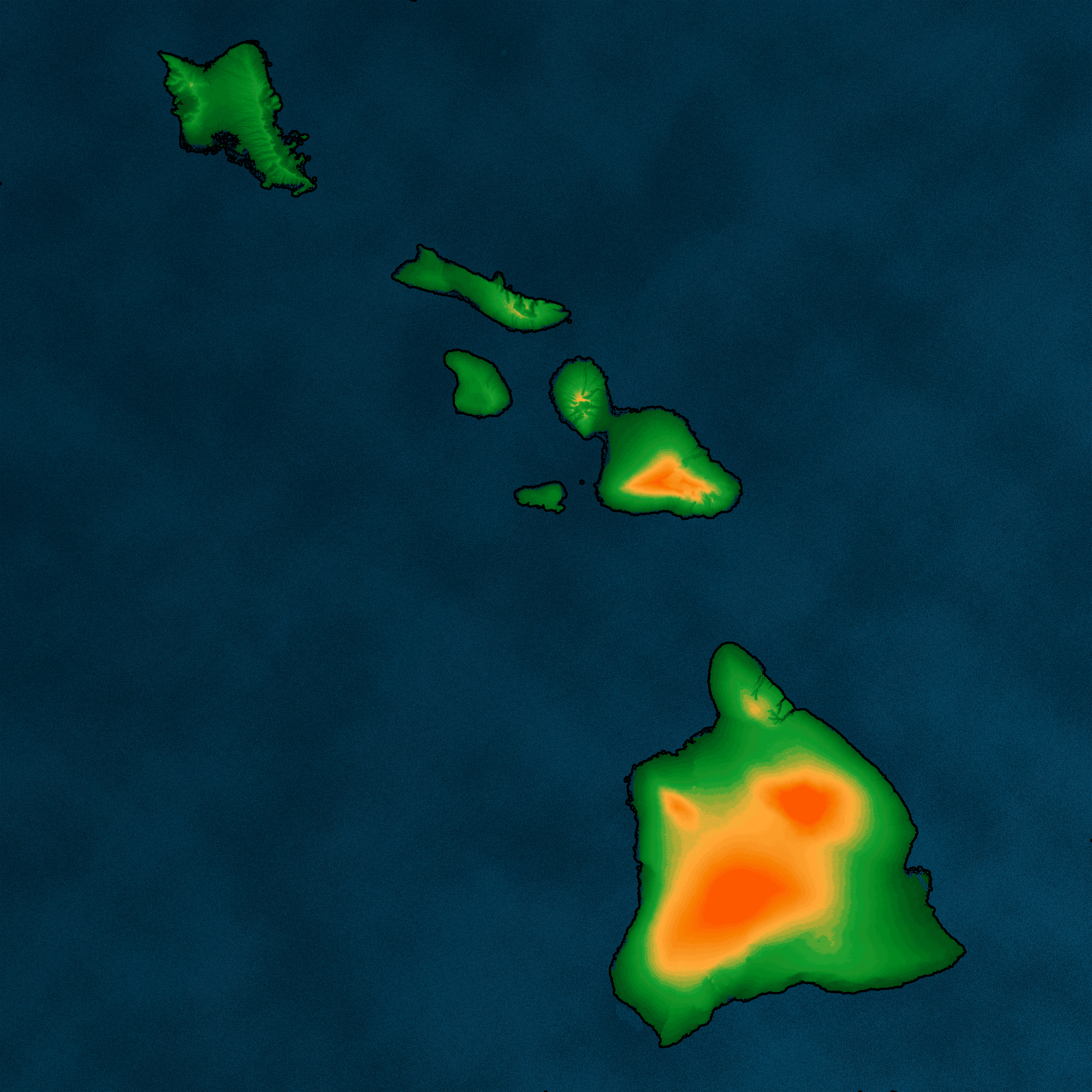
Key Features
- Live 3D Map of Hawaii – A detailed VR representation of the islands, including key landmarks, terrain and weather data.
- Real-Time Drone Synchronization – Flight paths, telemetry data (altitude, battery, speed) and mission control updates displayed in VR.
- Buoys & Launch Stations – Digital Twin hubs at strategic locations, including volcanic regions, coastlines and urban zones for drone takeoff/landing.
- AI-Assisted Flight Optimization – AI-powered route planning and adjustments based on weather, air traffic and terrain analysis.
- Mission Control & Replay Mode – Users can simulate, analyze and optimize past drone flights for better performance.

Conclusion
This cutting-edge Digital Twin VR system enables real-time drone tracking and control for optimized operations in a variety of fields. By combining AI-driven analytics, spatial UI design and VR interactivity, this system provides a new way to manage drone fleets intuitively.
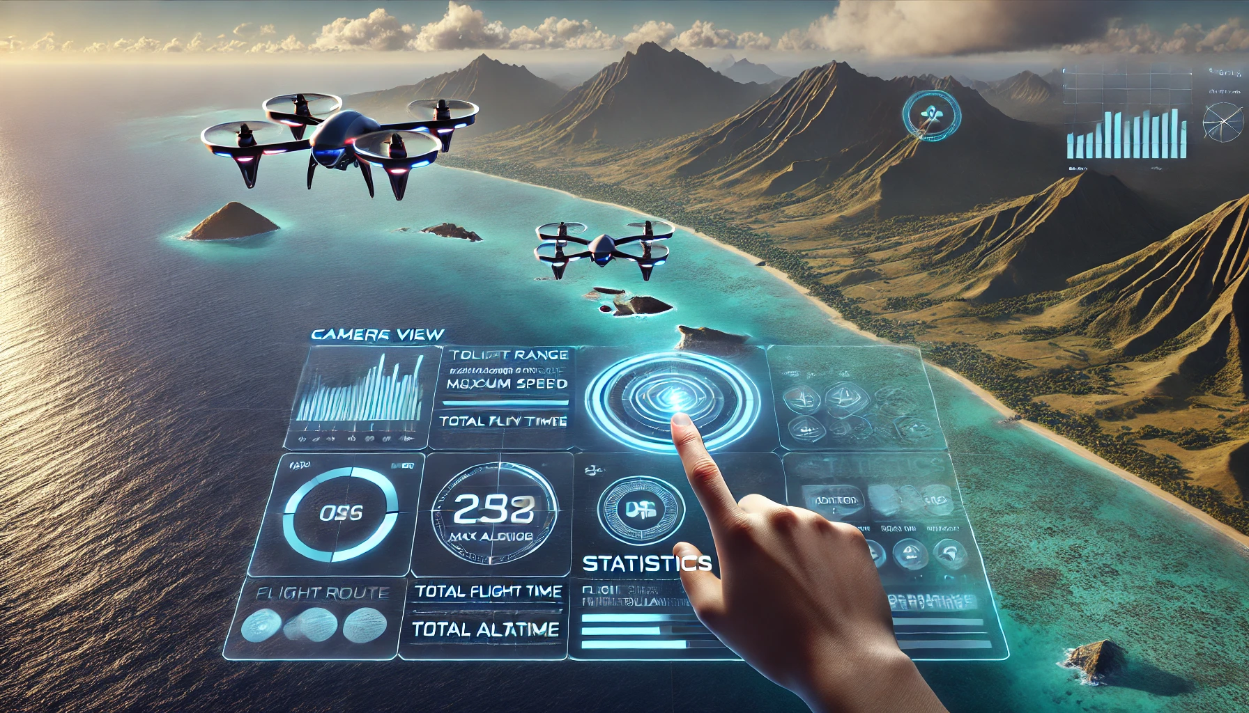
*Generated with AI
Figma-Prototype
Next Steps:
- Develop a VR prototype with real-time drone tracking.
- Implement interactive flight path planning & monitoring.
- Create an immersive UI framework in Unity.
- Test in real-world drone operations.
A game-changing system for the future of drone logistics & monitoring!
Overview
AR/VR Portofolio